1
1
1
1
Low-altitude economy integrated operation service center
Guizhou Hengfei Technology Co., Ltd.

Low-altitude economy integrated operation service center

ABOUT US

HENGFEI

2024 year

The company was established in

5 million

Company registered capital

9 +

Class A qualification

Products

Low altitude Economic Comprehensive Operation Service Center

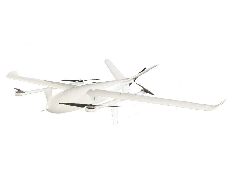
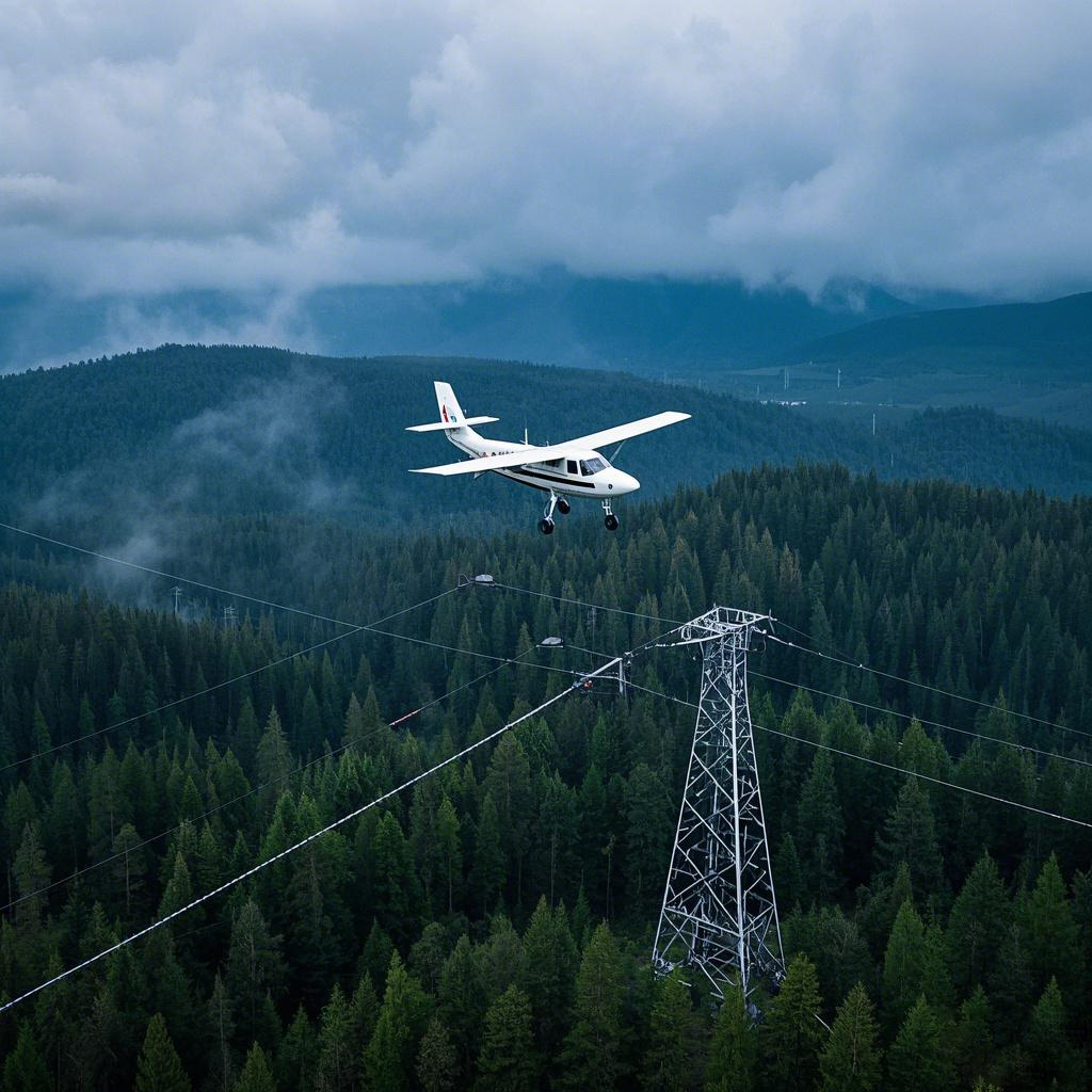
HF-002 folding composite wing UAV

Fully autonomous takeoff and landing, wide range of site adaptability, and strong maneuverability; the mission payload has a detachable design for quick replacement, supporting the use of various payloads such as single/dual-light tracking/triple-light pods.

Overall dimensions: 3500x1880x640mm Maximum payload: 10kg Cruise speed: 20m/s Wind resistance: Level 6 in rotor mode, Level 7 in fixed-wing mode Protection level: IP54 Maximum take-off weight: 35kg Unladen flight time: 190min Maximum altitude: 4200m Transport case dimensions: 2105x735x500mm

Learn more →

HF-002

Product application scenarios

Smart Public Security

The ability to patrol, investigate, and strike "around the clock and in all areas"; big data visualization analysis, system automatic identification and early warning; real-time grasp of dynamics, maximizing police efficiency; a three-dimensional patrol model of "air + ground", realizing all-round and seamless patrol; realizing effective integration of data across police types, departments, and systems to establish a sound information chain management; intelligent prediction and analysis in command and dispatch, police deployment, and security prevention, to develop more detailed work plans.

Learn more →

Product application scenarios

Intelligent Transportation

Low cost and quick and convenient image acquisition; high efficiency and rapid response; strong anti-interference ability of the equipment; seamless docking with the video surveillance system; strong mobility and good work continuity; less affected by climate and geographical conditions; much stronger video transmission capability; multi-departmental joint data sharing and common viewing

Learn more →

Product application scenarios

Intelligent Emergency Response

Real-time monitoring of on-site footage, aggregation of various disaster information to aid rescue efforts; promoting the intelligent transformation of emergency rescue equipment, contributing to the construction of an intelligent emergency response system; mobile and flexible, improving the efficiency of emergency rescue material transportation, buying valuable time for rescue; effectively ensuring the safety of rescue personnel; significantly improving the efficiency of emergency rescue; quickly analyzing real-time disaster situations to provide decision-making basis for the deployment of emergency rescue forces; accurate post-disaster analysis to provide data support for post-disaster reconstruction; high degree of timeliness and accuracy, significantly reducing costs, reducing inspection rates, and reducing inefficient manual labor output

Learn more →

Product application scenarios

Intelligent Firefighting

Visualized data assists in the orderly progress of assessment and repair work; replacing manual large-scale inspection work, reducing labor costs, and improving inspection efficiency

Learn more →

Product application scenarios

Smart City Management

Visually displays the distribution and location of illegal constructions; Provides a decision-making basis for the urban management department to formulate governance plans; Visualizes data, enabling data scheduling and traceability; Integrates GIS technology to achieve digital management of urban assets; Breaks down barriers between multiple departments; Empowers urban planning and layout needs; Visualized three-dimensional base realizes transparent urban management; An orderly closed-loop processing process efficiently empowers urban management; Significantly improves the frequency and scope of inspections, reducing the rate of missed inspections

Learn more →

Product application scenarios

Intelligent Environmental Protection

Comprehensive monitoring, reducing monitoring difficulty, increasing monitoring coverage, and avoiding blind spots in random checks; the distribution of gas emissions is clear at a glance, quickly identifying pollution sources; improving patrol efficiency to ensure detection without blind spots; comprehensively controlling environmental conditions and promptly eliminating pollution risks; a three-dimensional perspective provides a visual basis for decision-making in environmental remediation; significantly reducing input costs and improving regulatory efficiency

Learn more →

Product application scenarios

Smart Agriculture

Improve work efficiency and avoid errors caused by manual measurement; scientifically manage farmland, allowing managers to clearly understand the nutrient content of the land; improve operational efficiency, reduce costs, and free up labor; provide accurate data to ensure the accuracy of farmland compensation.

Learn more →

Product application scenarios

Smart Power

Complete inspection tasks quickly and accurately, improving work efficiency; reduce risks to personnel, avoiding safety hazards such as falls from heights, and improving work safety; not limited by complex terrain and environment, able to perform tasks in harsh weather and terrain conditions; support fully automated inspection programs to ensure data reliability.

Learn more →

Product application scenarios

Intelligent Aerial Surveying

Intelligent aerial surveying is a method of aerial surveying that integrates advanced technologies. Compared with traditional aerial surveying, it has many advantages in terms of efficiency, accuracy, and data processing.

Learn more →

Smart Public Security

Intelligent Transportation

Intelligent Emergency Response

Intelligent Firefighting

Smart City Management

Intelligent Environmental Protection

Smart Agriculture

Smart Power

Intelligent Aerial Surveying

R & D strength

Low altitude Economic Comprehensive Operation Service Center

R & D strength

A set of intelligent unmanned aerial vehicle manufacturing, sales, intelligent robot research and development as one of the low-altitude economic integrated operation service providers.

Low-altitude economy integrated operation service center

Fill in your requirements, we will contact you as soon as we receive it and give you a complete solution!

Provide intelligent drone solutions

Please fill in your information correctly so that we can contact you more quickly!

%{tishi_zhanwei}%

News Center

Low altitude Economic Comprehensive Operation Service Center

news center

新闻资讯

Beginner's Guide to Drone Flying: Easily Master Flying Skills

Drone Flight Beginner's Guide: Easily Master Flight Skills Want to become a drone flight expert? Mastering basic operating skills is key! Today, we'll share some basic drone flight operating skills to help you fly more confidently and safely in the sky. 🚀 Remote Control Familiarity: First, take the time to familiarize yourself with your drone's remote control. Most remote controls have two joysticks: the left controls altitude and rotation, and the right controls forward, backward, left, and right movement. Understanding the function of each button and switch allows you to react more quickly during flight. 🛫 Takeoff Techniques: Before takeoff, ensure the drone's battery is fully charged and the surrounding environment is open and free of obstacles. Gently push the throttle up, maintain stability, and avoid sudden pushes that could cause the drone to lose control. 🛬 Landing Techniques: When landing, gradually reduce the throttle to ensure the drone descends smoothly. Choose to land on grass or soft ground to reduce impact on the bottom of the drone. 📏 Flight Altitude: Maintaining an appropriate flight altitude is key to flight safety. Generally, the in-sight flight altitude should be controlled within 120 meters to avoid conflicts with other aircraft. Using the altitude hold function (if available) can help you maintain a stable altitude more easily. 🌐 Flight Modes: Drones typically have multiple flight modes, such as GPS mode and attitude mode. GPS mode is suitable for beginners because it automatically maintains stability; while attitude mode requires higher control skills and is suitable for experienced pilots. Choose the appropriate mode according to your skill level. 🔄 Basic Movement Practice: During flight, it is very important to master some basic movements. You can try the following exercises: Forward and backward flight: Practice the drone's forward and backward movement to feel the sensitivity of the control. Left and right turns: Control the drone's turns with the left and right joysticks, keeping the flight stable. 360-degree rotation: In a safe, open area, try to have the drone perform a 360-degree rotation to improve controllability.

Learn more →

Drone piloting skills mainly include the following aspects

Basic Operations and Flight Modes Takeoff: In a flat, open area, unlock and slowly push the throttle to feel the lift. Flight: The left hand controls altitude and turning, the right hand manages forward, backward, left, and right movement. Practice hand-eye coordination. Landing: Predict in advance, slow down and land slowly to avoid crashing. Flight Modes: GPS Mode: Automatic hovering, one-button return to home, suitable for beginners' aerial photography. Attitude Mode: No GPS assistance, relies on manual control, suitable for advanced practice. Sport Mode: Fast speed, suitable for advanced challenges. Safe Flight Precautions No-Fly Zones: Absolutely do not enter no-fly zones such as airports and military areas. Weather Conditions: Strong winds, rain, snow, and fog can easily lead to loss of control. Check the weather before takeoff. Battery Management: Do not overcharge or discharge. Pay attention to the battery level throughout the flight and land promptly when the battery is low. Obstacle Avoidance: The drone's visual sensors cannot recognize surfaces without texture features. Make reasonable judgments about the surrounding environment during flight. Advanced Operation Techniques Hovering Practice: Hover at a height of 1 meter and repeatedly adjust until you can hover stably in the air. Flying Practice: In an open, low-wind area, control the drone's yaw left and right to judge the yaw direction. Reaction Speed Practice: Have the drone perform a 180-degree turn to adapt to the drone's orientation changes. Four-Point Hovering and Self-Rotation: Perform four-point hovering and self-rotation at a height of 2 meters to improve control skills. Ten-meter Altitude Horizontal Straight Flight: After stable hovering at point A, fly in a straight line and at a constant speed towards point B. Common Problems and Solutions Power Management: When the remaining power is 10%, it will force a landing. You can push the throttle lever upwards to slow down the landing speed. Signal Obstruction: Avoid flying behind tall buildings during flight to prevent signal obstruction and loss of contact. Interference Sources: Pay attention to interference sources such as kite strings and power poles to avoid affecting the flight.

Learn more →
Low altitude Economic Comprehensive Operation Service Center
Picture Name
All
  • All
  • Product Management
  • News
  • Introduction
  • Enterprise outlets
  • FAQ
  • Enterprise Video
  • Enterprise Atlas

Low-altitude economy integrated operation service center | UAV sales | UAV solutions